
Est. September 2014

This is the Second Edition of the NYC Area Week Outlook by Weather360
Monday: Snow lingering in the morning will lead to sunnier and drier conditions in the afternoon with highs in the 40’s. Total snow accumulations of up to several inches are possible in some (mainly eastern) portions of the area.
Tuesday: Highs nearing 50 will be accompanied by much clearer conditions, making it seem much more like Late-March than Monday did.
Wednesday: Temperatures will finally break 60 degrees n most spots, so say ‘sayonara’ to any remaining snow mounds.
Thursday: Highs again in the 60’s will make it feel even more like spring, but the threat for showers does increase as the week progresses.
Friday: Highs again in the 60’s will also bring along some light to moderate rain showers. Only problem though is that its not April yet, so I guess these showers wont bring any May flowers…
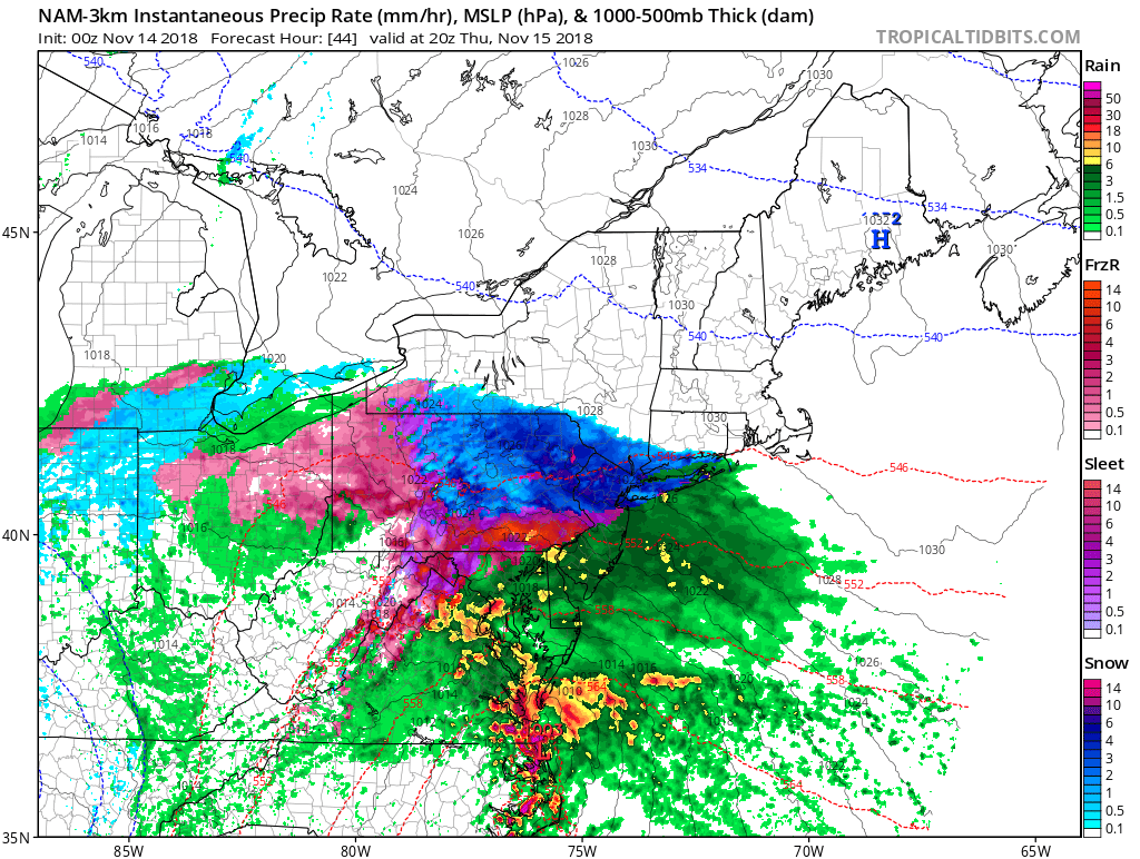
The Weekend: Temperatures in the 50’s along with somewhat clear conditions are likely to remain the most significant weather factor over the weekend. Although, there is the potential for a Nor’easter to impact the area around Sunday, so it may not be to bad to have some rain gear nearby.
In the event of an emergency weather situation, please consult the NWS at weather.gov and/or your local Emergency Management Office.
Locations across the NYC Metro Area are now under Winter Weather Advisories as snow and other wintry precipitation continues to envelop the area. Tonight, temperatures will continue to rise, and the wintry precipitation now will slowly transition to sleet and freezing rain, before tapering off as some rain showers across the area very early tomorrow morning. Currently, areas still receiving snow will likely have accumulated 1-3 inches of snow by now, making it somewhat difficult to get around. Ground temperatures are still below that of the air, meaning that areas receiving snow or other wintry precipitation will likely continue to see more accumulation. Tomorrow’s commute will be messy in the early morning until more rain moves in around 9 AM to wash some of the slush and snow on the roads away.
A Winter Weather Advisory is issued when the National Weather Service decides there will be hazardous weather in a certain area that will include some sort of wintry precipitation.
Most Winter Weather Advisories across the area are set to expire tomorrow around 7 AM.

Hurricane Alex formed in the Northeastern Atlantic today, and is set to impact the Azores Islands overnight into tomorrow. Hurricane Alex has sustained winds of 85 MPH and is churning due north at 22 MPH. After impacting the Azores, Alex will become a post-tropical cyclone as it moves to the northwest rapidly. Alex will end up, most likely as a post-tropical storm or remnant low, near the Northeastern Canadian Maritime or around southern portions of the Greenland Maritime.

US Snow Update: Across the Northeast, more nor’easters can be expected, especially in early to late February, when cold air may mix in to create significant snow events. In other locations across the United States, more of the same is to be expected in the short term, but there is the potential for a small snow event in and around southern Oklahoma/ northern Texas over the weekend, according to the GFS, the CMC, and the ECMWF computer models.
The unofficial start winter was today across many locations north and west of NYC. Although no measurable snowfall was recorded, locations from in and around Poughkeepsie to as far south as Salem, Peekskill, and even some locations in western Connecticut, experienced flurries and light snow showers a good one to two months ahead of time.
Why the snow?
Although temperatures in and around the NYC Metro Area were generally higher than freezing at the time of the snow, the temperature in the atmosphere was a bit cooler than freezing, which allowed fast-falling snow to reach the ground before it melted in-air.
Due to the above freezing temperatures of the ground though, many of these snowflakes melted within 30 seconds of contact with the ground.
(The official start of Meteorological Winter is December 1st, and the start of the season Winter is generally considered December 21st.)
Early next week a large rain event will spread from the Midwest and Southeast into the Northeast. But what you may not have known is that the same rain event will bring some of the frozen, fluffy stuff to Maine. Although not much is currently expected, the snow has the potential to cause some trouble on roadways (including I-95), from Monday evening on into early Wednesday.
Now back to the rainy side of this storm system. Early on in the week the rain that will move in has the possibility to include some thunderstorms and areas of heavy rain, this threat exists from Maine nearly all the way down the Eastern Seaboard outside of the Northeast.
In this case both the ECMWF computer model and the GFS computer model are agreeing that there will be a large rain (and some snow) event in the Northeast early on this week.
We’ll keep you updated as more information comes out, but enjoy the above average temperatures tomorrow!
Tomorrow may be the first day of spring, but it sure won’t feel much like it in the Northeast. Tomorrow a snow event will impact the majority of the southern portions of the Northeast, bringing with it several inches of snow across a large swath of the Northeast. The timing of this storm will be perfect for snarling the morning and evening rush hour with bands of moderate to heavy snow. It may seem to some in the Northeast that instead of tomorrow being the first day of spring, it may be more like the first day of a second winter (although the cold will only last for a little longer.)
Weather 360 would like to apologize for not posting a post to unveil the new section of Weather 360, that post will be posted later today.
Today is March 19th 2015, normally, Weather 360 wouldn’t have to talk about this, but this winter isn’t very normal. With this in mind, it is not hard to guess what this may mean. What it does mean is that tomorrow the majority of southern New England and most of the Mid Atlantic will be impacted by a snow event possibly dumping up to six inches in some localized areas.
The timing of the storm
In areas further to the west the precipitation will likely start while morning rush hour is winding up, and will end around midnight Saturday morning.
For locations further to the east the precipitation (mainly snow) will start before the evening rush hour begins and will start to taper off a couple of hours after midnight.
Any accumulations?
As previously mentioned, snow accumulations may be a couple of inches with some locally higher amounts where the heaviest snow falls and where it is cold enough to stay all snow (mainly all locations further north than Trenton and mostly to the east.) So be prepared for snow accumulation, heed all watches, warnings, and advisories set out by the National Weather Service, and most of all, stay safe!
It can be interesting when the slightest change in temperatures and track of a storm system can completely alter the forecast for a given area. That is what parts of New England are experiencing today. The NAM computer model along with others are now showing two smaller and weaker storm systems combining in the Ohio Valley to bring a mixed precipitation there, but as it heads northeast, it will meet some cold air which could bring up to several inches of snow (not ice, rain, or sleet, such as most late-winter systems) to parts of southern New England. In and around NYC to the north, the snow should start around noon and end just after midnight, but in NYC itself, the snow will mix in with rain and sleet to possibly create icy and hazardous conditions on the road ways. For those in winter weary Boston, there isn’t as high of a chance of the storm impacting that area, so it seems to be as if Boston is mainly in the clear of experiencing another major winter storm for a while. Weather 360 will provide more updates on the track and intensity of this storm as it approaches the Northeast.
Stay safe!
Thought winter was ending? The unfortunate truth for Spring lovers is that cold temperatures, as suggested by the American GFS computer model, that there may be a big cool down on its way for the Northeast before this month is over. The latest model run for the GFS model is suggesting a major dip in the jet stream to situate itself over the Northeast US that could bring wintry temperatures and conditions back for the Northeast as a “I’ll be back in December” gift to say goodbye for spring and summer (whatever those are.) Love winter? Want it to never end? Then you have likely been pleased by this post. Sick of the cold temperatures? Want spring? Just hang on, we promise that spring will be here… eventually.
Stay safe!
