
Est. September 2014


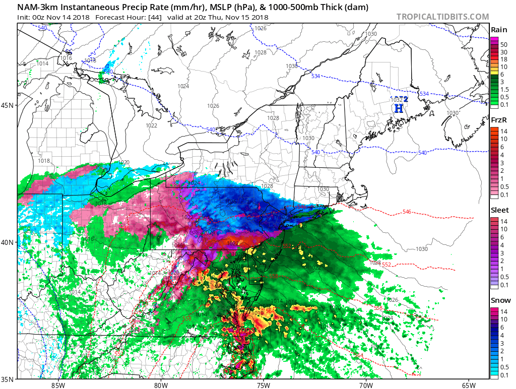
This morning, locations across Connecticut, New York, and New Jersey woke up to snow showers and freezing rain; the first of the season. Although hovering just above freezing for most of the morning in portions of the Metro Area, snow was still able to reach the ground before melting. In locations further to the north, up to an inch and a half of snow has been reported on the ground, with snow expected to continue in some locations until the early evening hours before fully transitioning to rain.
The unofficial start winter was today across many locations north and west of NYC. Although no measurable snowfall was recorded, locations from in and around Poughkeepsie to as far south as Salem, Peekskill, and even some locations in western Connecticut, experienced flurries and light snow showers a good one to two months ahead of time.
Why the snow?
Although temperatures in and around the NYC Metro Area were generally higher than freezing at the time of the snow, the temperature in the atmosphere was a bit cooler than freezing, which allowed fast-falling snow to reach the ground before it melted in-air.
Due to the above freezing temperatures of the ground though, many of these snowflakes melted within 30 seconds of contact with the ground.
(The official start of Meteorological Winter is December 1st, and the start of the season Winter is generally considered December 21st.)
