Crippling Blizzard Expected Tuesday

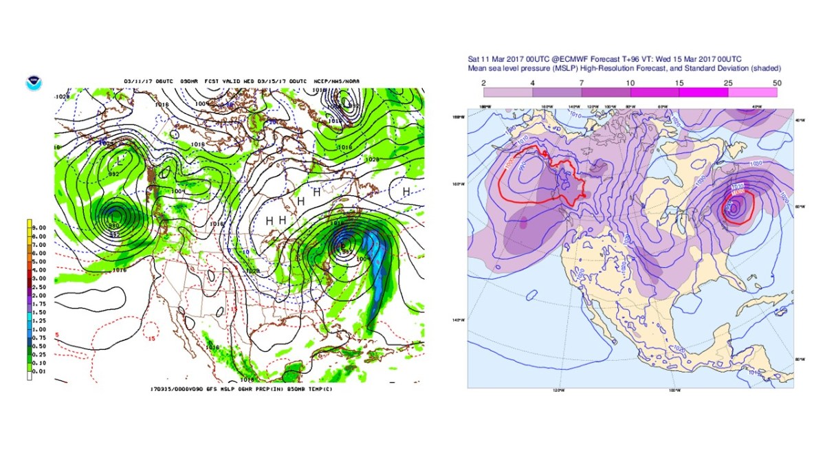
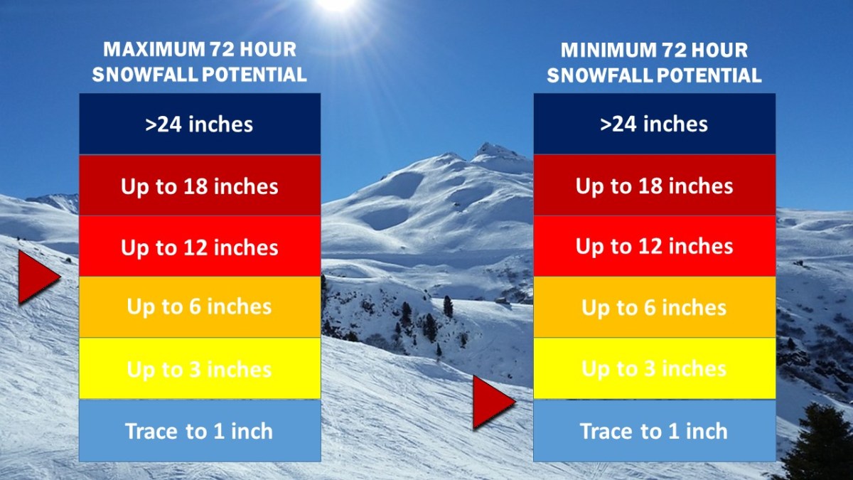
Winter Storm and Blizzard Watches remain in effect for locations across the NYC area. Weather 360 is now forecasting that up to 2′ of snow is possible in locations situated mainly to the west and the north of the city, and that at least 6″ of snow will accumulate even in the event the storm does not make a “direct” hit.

Snow Accumulation 12
Weather 360 72 Hour Snow Totals Forecasts update about every 6 hours ahead of storms. Currently, Weather 360 is calling for at least 6″, and at most up to 2′.

It is increasingly likely that blizzard conditions will be felt on Tuesday, as heavy wet snow combined with wind gusts approaching 45+ mph may make for white out conditions. Due to the wind and snow, expect power to go out in some areas and take appropriate precautions ahead of the storm. For more information regarding the dangers this storm poses, consult the NWS at weather.gov. We’ll continue to keep you updated on the progress of this storm both here, and on our Facebook page.

Major Winter Storm Prompts Alerts in NYC Area

Winter Storm and Blizzard Watches are in effect for the entire NYC area. The National Weather Service is currently calling for up to 18″ of snow in some locations, as more major computer models have continued to suggest a strong Nor’easter developing off the East Coast by Tuesday morning.

GFS ECMWF 3 11 17 3 15 17 BLIZZARD
The GFS and the ECMWF (Euro) computer models from this morning. In the most recent runs, both models have suggested an essentially identical storm that will come in close proximity to the Mid Atlantic/New England coast, putting it in an ideal position to dump massive amounts of precipitation on the area.

Weather 360 is estimating that maximum snow totals in the area may exceed 18″ should the storm remain close enough to the coast to bring its moisture inland, but far enough away to keep temperatures below the freezing line. Even in the event that the storm does not remain in the Nor’easter ‘Goldilocks Zone’, expect there to be at least 3-6″ of snow on the ground by Wednesday morning. For more information regarding the dangers this storm poses, consult the NWS at weather.gov. We will continue to post updates on the progress of this storm over the coming days both here, and on our Facebook page.

Up to 8″ of Snow Possible Tomorrow; Major Storm Potential Next Week

Over half a foot of snow is possible tomorrow across large swaths of the Mid Atlantic and southern New England. Starting around midnight tonight, snow associated with an incoming weak low pressure system will move into the NYC area. Most of the snow should move out of the area by noon, but not before dumping an estimated 4-8 inches of snow.

HRRR computer model total snowfall accumulation by 4 pm ET 3/10/17.

Expect roads to be slick and potentially covered by a layer of snow and potentially some ice during the morning commute.

Going into Tuesday and Wednesday of next week, a potentially major Nor’easter may bring up to 2 feet of snow to New England and the Mid Atlantic. However, as this storm system is still not yet developed, it is difficult to forecast this with great accuracy, but recent trends have indicated that the potential for a major storm is increasing, and in the meantime, we’ll keep you informed.


Wintry Mess Expected Tomorrow

Only 2 days after the largest storm of the season, the Northeast is on the brink of yet another major winter weather event. In southern portions of the Mid-Atlantic and New England, snow in the morning will likely transition to a wintry mix or rain by the afternoon, but further to the north, cooler conditions will allow for up to 2 feet of snow to accumulate in some areas.

The most significant differences in snow accumulation are expected to occur between locations further to the south and closer to the coast, and those slightly further to the north and inland. In the NYC Metro Area, up to a foot of snow, sleet, as well as some ice is possible in locations to the north of Westchester, whereas in coastal NJ, NY, and CT, only a few inches of snow is expected before the transition to more liquidy precipitation takes place.

Regardless of accumulation, expect weather conditions tomorrow to reduce visibility and hamper travel all day. Please be aware of the weather conditions at your current location as well as in your destination if you intend to travel. More safety related information can be found at http://www.weather.gov.

Major Winter Storm Tomorrow

Winter Storm and Blizzard Warnings have been issued for the entire I-95 Corridor from New York to Boston. Exactly 4 years ago, Winter Storm Nemo created the exact same situation. Winter Storm Nemo, pictured below in an NOAA Surface Analysis, dumped 40 inches of snow in parts of Connecticut, and while tomorrow’s winter storm (named ‘Niko’) will likely dump no more than a foot and a half, it certainly is expected to resemble the historic storm that took place 4 years ago.

winter-storm-nemo-surface-analysis
Tomorrow marks the 4th anniversary of Winter Storm Nemo (above), and for the occasion, a nearly identical system is expected.

Expect high winds and heavy snow lasting from late tonight until tomorrow afternoon to greatly reduce visibility and knock down some tree limbs and power lines. Many schools across the area will likely be closed tomorrow, as the storm will also greatly reduce the ability to travel. Due to the remaining uncertainty in the storm’s intensity as it passes the area, Weather 360 is forecasting snow totals to vary from 6 inches in locations on the immediate coast, to as much as 16 inches for locations not much further inland.

 For information regarding watches, warnings, and advisories, visit weather.gov, and in the meantime, we’ll keep you posted.

Foot of Snow Possible Thursday

Over the past several days, more and more computer models have suggested that a ‘clipper’ snow storm would intensify just off the coast, dumping upwards of several inches of snow. Due to temperatures well-above average tomorrow, expect a small layer of ice on surfaces under all the snow Thursday, as some precipitation early on will fall as snow, melt, then freeze before it can accumulate.

nam_namer_054_sim_radar.gif
Above is the 6 UTC run of the NAM computer model displaying simulated radar for 7 am Thursday. Source: NOAA

Weather 360 is forecasting that a maximum of 12-18 inches of snow at this time in central portions of the Metro Area, with at least 3-6 inches of snow in locations further to the north, or at the freezing line at the immediate coast. The forecasted track and intensity of this storm are still fluctuating, so more information will be posted over the coming days. As always, please consult the NWS at weather.gov before making any decisions.


Major Snowstorm to Remain Offshore

A significant snowstorm expected to bring blizzard conditions and up to a foot of snow to portions of Virginia and the Southeast may bring up to several inches across the Mid Atlantic and the Northeast, prompting winter storm warnings and winter weather advisories for portions of Long Island and eastern Connecticut. The National Weather Service also forecasts light snow accumulation for much of the Metro Area, with areas of Long Island receiving as much as 6 to 8 inches of snow by tomorrow night.

Weather 360 forecasts up to 4 inches of snow for much of southwestern Connecticut, and a half foot or more of snow for much of Long Island. As the snow will start around midday, travel in the afternoon may become slick and at times there may be periods of low visibility.

Snow Accumulation 3.jpg

Please consult The National Weather Service at weather.gov for more info.

Wintry Mess Expected for Monday

Starting late tomorrow afternoon, wintry precipitation can be expected across large swaths of the Metro Area. Locations north and northwest of the city can expect frozen precipitation until early morning Monday, meaning that although it will transition to rain by mid morning in most locations, roads may be icy and slushy. Currently there is a great deal of uncertainty in regard to the temperature Monday morning, which, if are even only a degree below where currently expected, could create an even messier commute.

More updates tomorrow as the storm nears.

Hurricane Matthew Expected to Slam Florida

The category 3 Hurricane Matthew has prompted tropical storm watches, tropical storm warnings, hurricane watches, and hurricane warnings for nearly the entire state. Winds in excess of 100 mph may be expected across large swaths of the Southeast from southern Florida to South Carolina in the coming days.

[Image of probabilities of 34-kt winds]
NHC Tropical Storm Force Winds Probabilities for Hurricane Matthew.

Millions have been ordered to evacuate from the coasts of Florida, Georgia, and South Carolina. The time is NOW to prepare for the storm. DO NOT WAIT UNTIL THE STORM STARTS TO PREPARE. Hurricane Matthew is an extremely dangerous and life threatening storm, and potential impacts to The US and The Bahamas may be comparable to that of Hurricane Andrew in 1992.

*Hurricane Matthew is an extremely dangerous storm, it is highly recommended to prepare and evacuate as ordered by your local governments should they do so. Please consult The National Hurricane Center at http://www.nhc.noaa.gov for more info.*

Hurricane Matthew Bears Down on Caribbean, Poses Threat to US

The monster  category 4 Hurricane Matthew is now beginning its path of destruction as it nears the northern Caribbean Islands. Up to over a foot of rain is expected over a wide swath of Haiti, Cuba, and Jamaica, creating the possibility for mudslides and flash flooding.

The National Hurricane Center has forecasted the storm to barrel through The Caribbean and The Bahamas before potentially impacting the US.

Hurricane conditions can be expected across Jamaica, eastern Cuba, and all of Haiti over the next 48 hours, and hurricane conditions are increasingly likely for large swaths of the Bahamas as well as The Turks and Caicos.

After about 72 hours out, the forecast becomes a bit less certain, as it begins to be reliant on, multiple factors, for now, we’ll focus on two.

  • Factor 1: The low pressure system in the Pacific Northwest is weaker than expected, meaning that once it reaches Hurricane Matthew on the East Coast (if at all), it will not be able to slingshot the storm away from the coast as previously thought.
  • Factor 2: The high pressure system in the Atlantic is much more dominant than expected, indicating that it may act as a block in Matthew’s path, forcing it much, much closer to the coast, as reflected in last night’s shift in the spaghetti model plots.

*Hurricane Matthew is an extremely dangerous storm, it is highly recommended to prepare and evacuate as ordered by your local governments should they do so. Please consult The National Hurricane Center at http://www.nhc.noaa.gov for more info.*