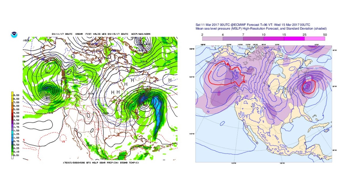
Winter Storm and Blizzard Watches are in effect for the entire NYC area. The National Weather Service is currently calling for up to 18″ of snow in some locations, as more major computer models have continued to suggest a strong Nor’easter developing off the East Coast by Tuesday morning.

Weather 360 is estimating that maximum snow totals in the area may exceed 18″ should the storm remain close enough to the coast to bring its moisture inland, but far enough away to keep temperatures below the freezing line. Even in the event that the storm does not remain in the Nor’easter ‘Goldilocks Zone’, expect there to be at least 3-6″ of snow on the ground by Wednesday morning. For more information regarding the dangers this storm poses, consult the NWS at weather.gov. We will continue to post updates on the progress of this storm over the coming days both here, and on our Facebook page.
