As Atlantic Hurricane Season Winds Down, Western Mexico Faces Major Hurricane Threat

10/22/15 8:00 PM AST: Hurricane Patricia strengthens rapidly to a Category 4 hurricane, Hurricane Warnings in place.

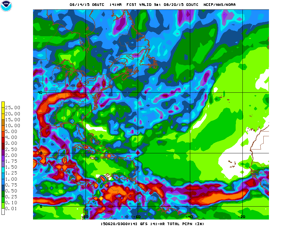
Although the Atlantic Hurricane Season is winding down, a massive Category 4 Hurricane Patricia is quickly moving towards the Central Mexican Pacific coastline.  This monster storm will also help bring massive amounts of rainfall to these areas along with parts of the Southern United States over the next several days.

The Forecast

At this time yesterday, Hurricane Patricia was only a Tropical Depression with sustained winds of only 35 MPH, and the forecast track was only suggesting the landfall at a maximum of a Category Two storm on the Mexican Coastline.  So what happened?

Well, since yesterday at this time, the forecast models have shifted as to support massive quick development of the storm due to warm ocean waters, and minimal wind shear.  Even though the official forecast track yesterday called for a moderate hurricane impact on the Mexican Coastline, some computer models such as the HWRF and the GFDL (Hurricane Computer Models) suggested that at least a potential Category Three storm impact was possible starting late on Tuesday.  These same computer models have steadily suggested a more violent impact since then.

For anyone with interests across along the Central-Pacific Mexican Coastline, please continue to monitor the storm and visit the NHC’s website for more information.

Rain is moving into our area tonight

The remnants of Bill, still a Tropical Depression with winds of 20 MPH, is expected to move right over the New York Metro Area tonight and tomorrow, bringing with it heavy rains and some gusty winds.  The amounts of rain that will fall in and around the city will likely be no more than an inch or two, with the exception in some localized areas.  Mainly, this storm system will be a rain maker that will start out the week with soggy conditions, but let this not be any premonition for the rest of the week, for drier and higher   temperatures can be expected.  Tonight and tomorrow of you are heading outdoors or planning to head outdoors, we at Weather 360 do advise you keep an umbrella handy invade of a sudden downpour.

TROPICAL STORM BILL MAKES LANDFALL NEAR GALVESTON

This morning the NHC classified an area of disturbed weather with winds of 60 MPH with a well defined center of circulation as the second Tropical Storm of the year and the second Tropical Storm to make landfall this year in the United States, Tropical Storm Bill.  Currently, areas from the Louisiana border with Texas to the Mexican border near Brownsville are receiving some storm surge and winds in excess of 60 MPH along with torrential rains moving ashore.  The   NHC has issued Tropical Storm Warnings for the majority of the Texan eastern coast.  Several computer models are hinting (if not all of them) at the possibility of this storm maintaining at the very least Tropical Depression status several hundred miles inland, possibly to areas as far from the coast as Illinois or Indiana.  This storm is also bringing torrential rains to traverse the country as an abundance of tropical moisture comes through via Tropical Storm Bill. So, over the following days, rain will continue to spread over hard hit areas by flooding just about a week and a half ago, potentially bringing back severe flooding to areas susceptible to flooding.

For anyone in areas that are on the coast in Texas that will be impacted by Tropical Storm Bill, remain indoors unless absolutely necessary, and if you just go outdoors, exercise extreme caution and heed all warnings set out by the NHC.

Stay safe!

WATCH OUT TEXAS! SOON TO BE TROPICAL STORM BILL TO MAKE LANDFALL NEAR GALVESTON

Current Invest 91L (As of 7:00 PM EST June 15th 2015), is now expected to become Tropical Storm Bill later on this night before making landfall somewhere between Port Lavaca, Texas and Galveston, Texas.  This storm already has sustained winds of about 45 MPH and is quickly developing a more organized center of circulation.  This storm will dump anywhere between 2 and 8 inches of rain from the Texas coastline to Indiana and Ohio before losing all of its remaining moisture over land.  Current invest 91L will also likely maintain its strength for several hundred miles inland as a Tropical Storm with winds above 40 MPH and torrential rains until it reaches the Missouri border with Kansas. For anyone living on or near the coastline between Galveston and Port Lavaca, please consult the NHC or your local emergency management center, and for those who live near or on the shoreline of a river or stream that is prone to flooding, please keep yourself up-to-date with any advisories, watches, or even warnings that may come your way as a result of this storm system, and do not forget to finish up any emergency preparations before the storm hits you.

We will keep you up to date and for detailed information regarding the soon to be Tropical Storm Bill, consult first with the NHC, then come on over to our Hurricanes 360 page to see what we here at Weather 360 could do to help you ride out the storm.

Stay safe!

*We would also like to apologize for the mix up on our last post, Invest 91L is the storm in the Gulf of Mexico, Invest 90L was Tropical Storm Ana in early May before it developed.

SOON TO BE TROPICAL DEPRESSION TWO TO IMPACT THE TEXAS COASTLINE

INVEST 90L IS NOW EXPECTED TO MAKE LANDFALL AS A TROPICAL DEPRESSION OR TROPICAL STORM ON THE TEXAS COASTLINE.

In less than 3 days, current Invest 90L is expected to strengthen to a Tropical Depression or Storm and make landfall somewhere between Galveston, Texas, and the Louisiana border.  This storm is expected to not only bring some wind and some storm surge threats, but this storm will bring in enough moisture to cause intense rains and thunderstorms that may cause flooding.

Here’s a look at the GFS’s forecasted amount of  precipitation

GFS forecasted amount of rain for soon to be tropical depression two

As you can see, over the next 5 or so days, the moisture from the current Invest 90L will make its way through the central United States, before dumping the last of its rain on the majority of the Northeast and portions of Southeastern Canada.  Be on the lookout for heavy rains mid to late week next week in and around NYC.

For more information on Invest 90L, go to our Hurricanes page, and for emergency information for floods or tropical cyclone watches or warnings please refer to the National Hurricane Center (NHC) and weather.gov.