
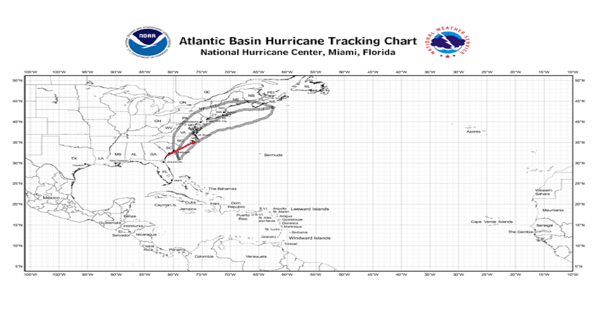
Have a look at our graphic, the red line on the coast means that imminent landfall is expected in the next two days.
![]()
Our graphic shows Invest 90L, which will then likely be Ana, moving into the SC/NC coastline, but due to the current run of the European computer model, we are having this storm ride up the coast a bit further, then veering out to sea before having a chance to make landfall in New York and New England.
At the moment, the National Hurricane Center (NHC), is saying there is a 90% chance of development for this Invest 90L over the next 2 days. Due to this storm being more associated with the Jet Stream, this storm will likely be first classified as a Sub-Tropical Storm, but don’t be fooled by the “Sub”, these storms are the equivalent of a regular Tropical Storm, and if they break free of whatever holds them back, can quickly strengthen.
For preparedness tips for this storm, consult the NHC or your local emergency management center to stay safe.
Stay safe and be prepared!
